Qingshui Cliff and the Suhua Coast: Taiwan's Classic Mountain-Meets-Ocean Drive
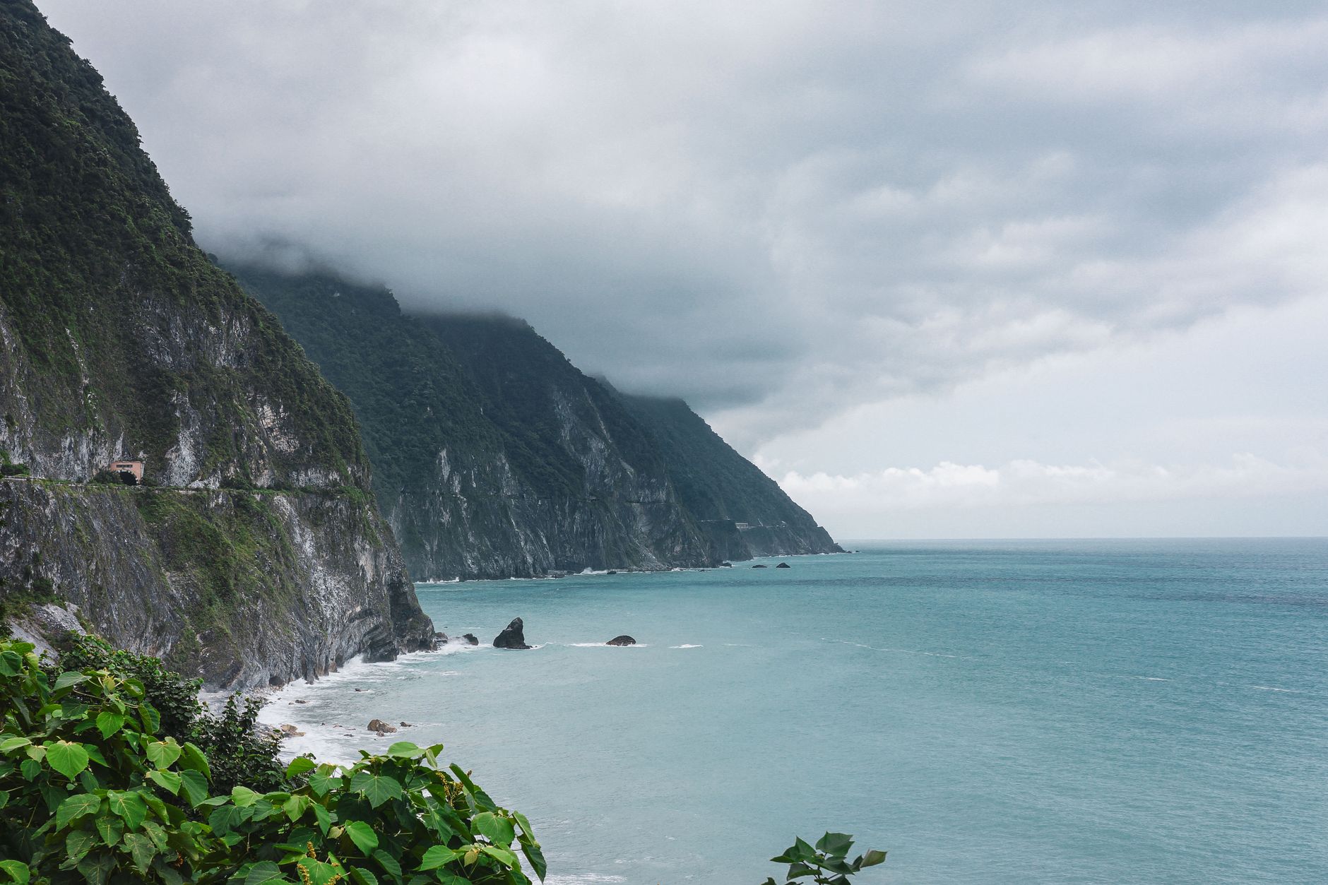
Qingshui Cliff is one of the most iconic landmarks on Taiwan's east coast, where the mountain wall rises almost vertically out of the Pacific. Its sheer scale has earned it a place among the Eight Wonders of Taiwan. Set in Xiulin Township, Hualien County, this stretch of coast compresses the towering Central Mountain Range and the deep-blue Pacific Ocean into a single frame — a view many travelers call a once-in-a-lifetime sight.
Driving the Suhua coast, your view shifts constantly between cliffs, ocean, tunnels, and hairpin bends, and almost every turn delivers a postcard moment. In this guide we cover how Qingshui Cliff was formed, the best viewpoints, on-the-water experiences, and honest notes on road conditions and safety — so you can enjoy this mountain-and-ocean route to the fullest, with peace of mind.
How Qingshui Cliff Was Formed: Marble Against the Pacific
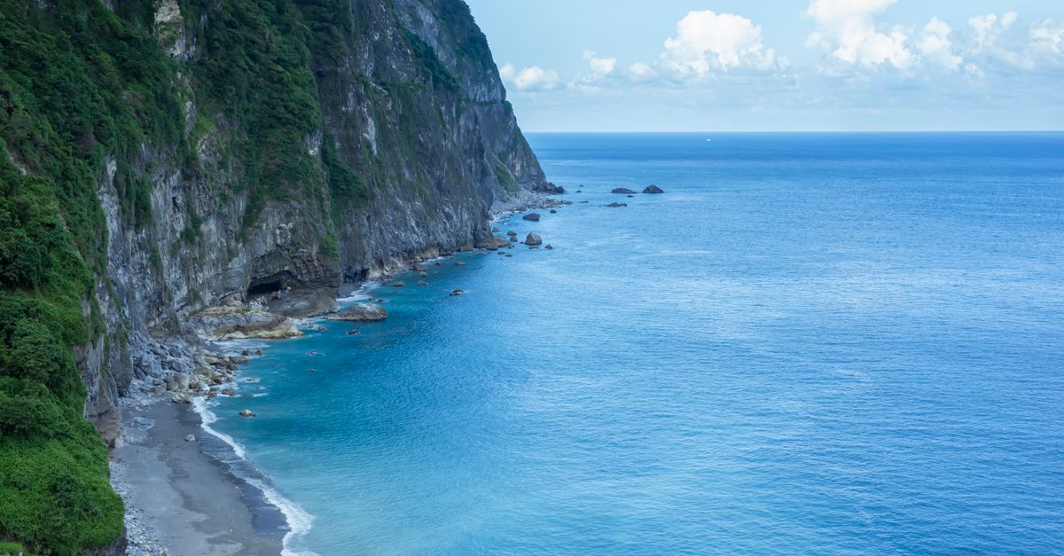
Qingshui Cliff keeps its near-vertical profile thanks to the rock beneath it. The cliff is made largely of marble, gneiss, and green schist — hard, erosion-resistant stone that stays standing tall even after centuries of pounding waves and river cutting. Its highest point tops 2,400 meters, and the base drops straight into the Pacific, a vertical scale that is rare among the world's coastlines.
Geologically, this is the result of the Philippine Sea Plate pressing against the Eurasian Plate, lifting ancient seabed rock skyward, then sculpted further by rain and sea erosion into the mountain-and-ocean scene we see today. Standing at a viewpoint, you're not just looking at pretty blue and green — you're reading a geological storybook spanning millions of years, well worth slowing down for.
The Suhua Highway and Suhua Improved: Road Conditions and Honest Warnings
The Suhua Highway (Provincial Highway 9) runs from Su'ao in Yilan all the way to Hualien and is the main artery to Qingshui Cliff. The recently opened Suhua Improved (the Suhua safety-upgrade project) greatly improved safety and travel times on several sections, while the older coastal route still offers the most classic cliff views. With sheer rock on one side and open ocean on the other, the road is full of bends and tunnels and is prone to rockfall and landslides in bad weather.
An honest warning: after the April 2024 Hualien earthquake, many main trails in Taroko National Park and some roads have been closed long-term or placed under traffic control. Viewing facilities around Qingshui Cliff and points along the Suhua route may also close intermittently — always check official announcements from the highway authority and the national park for current access. If you want to extend north, take a look at the Yilan Jiaoxi–Luodong day tour and confirm road conditions again before you set out.
Must-See Viewpoints: Chongde, Huide, and Daqingshui
To make the most of Qingshui Cliff, these roadside viewpoints are the ones worth stopping for (always follow on-site notices for current access and parking):
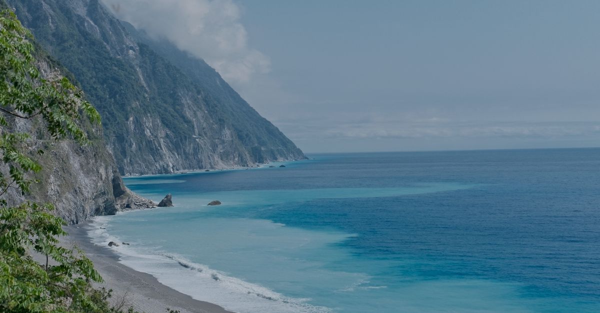
- Chongde Observation Deck / Chongde Beach: the classic angle over the cliff and its curving bay; on clear days the sea shows gradient blues.
- Huide Viewing Trail: looks down on the winding Suhua Highway and the full sweep of the cliff — a favorite spot for photographers.
- Daqingshui Rest Area: great for a mid-route break, supplies, and photos, with wide-open views.
A reminder: some trails and parking areas may close or change due to earthquakes, rockfall, or maintenance, so confirm again before you set out. If you have time, it pairs beautifully with the Hualien Qixingtan city day tour, letting you fit both coastline and city scenery into one trip.
From the Water: Seeing the Cliff by Kayak or SUP
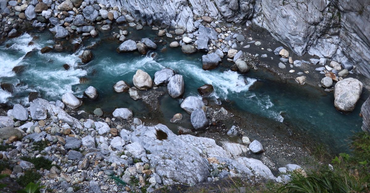
Seeing Qingshui Cliff from land is already spectacular, but looking up from the water is a different kind of awe. Sitting in a kayak or standing on a SUP, you crane your neck at hundreds of meters of towering rock, surrounded by clear water — a contrast of small and vast that is often the most unforgettable moment of the whole trip. Early morning, when the sea is calmest, is usually the prime window.
Safety first — please always:
- Join only licensed operators with rescue equipment and professional guides, and wear a life jacket the entire time.
- Check the weather, swell, and sea conditions before setting out; do not go in during large waves, strong winds, or when warnings are issued.
- Follow your guide's instructions, don't push your limits or leave the group; weaker swimmers should be especially cautious.
Prepare properly, and Qingshui Cliff from the water will reward you with a scene you'll remember for life.
Best Seasons and How to Plan a One-Day Itinerary
Qingshui Cliff has its own character in every season, but overall spring (March–May) and autumn (October–November) bring stable weather and clear views — the best times to capture the gradient blues of mountain and sea. Summer afternoons often see thunderstorms, while winter's strong northeast monsoon makes the sea rougher, so plan water activities with extra care. Avoid typhoon season and the days right after heavy rain, and both safety and the experience improve.
A one-day itinerary can flow like this:
- Leave Hualien city in the morning and head first to the Chongde or Huide viewpoints, shooting while the light is good and crowds are thin.
- Have lunch and restock at Daqingshui or back in Hualien city around midday.
- In the afternoon, arrange kayaking / SUP or a leisurely drive along the coast, weather permitting.
To catch the right season and light, keep an eye on the weather forecast and sea conditions before you go — it will greatly raise both the payoff and the safety of this mountain-and-ocean trip.
Self-Drive, Train, or Charter? And How to Get a Fast Quote
There are three common ways to reach Qingshui Cliff, each with trade-offs:
- Self-drive: the most flexible, but the Suhua route has many bends and some narrow sections, which is stressful if you don't know the roads, and parking is limited.
- Train: you can ride to a station such as Chongde and transfer onward — less tiring, but timetables and connections limit how freely you can stop for photos.
- Charter / professional driver: a driver who knows the roads can pull over flexibly at legal viewpoints, ideal for families, older travelers, and anyone who just wants to focus on the scenery.
For a fuller comparison of your options, read our Taiwan charter vs. HSR and train transport guide. RaywayGO offers multilingual charter and airport transfer services, customized to your group size, route, and the viewpoints you want to see. Prices vary by group size, route, and timing — treat any figure as a market reference, with the actual quote based on your needs. Just fill in your request on our website for a fast quote; we usually reply within two hours, so you can hand this most majestic mountain-and-ocean drive over to us and travel with ease.